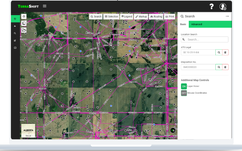
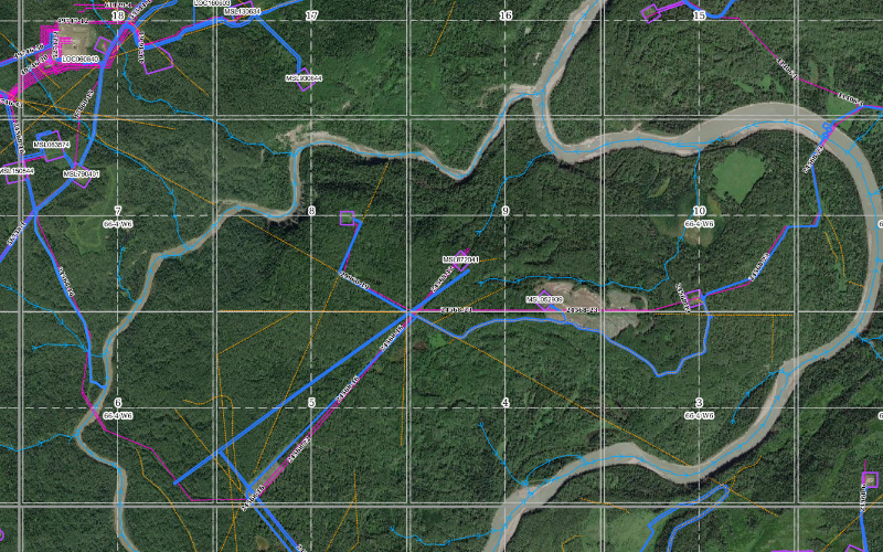
Utilizing advanced drafting and GIS techniques we are able to automate the drafting processes for disposition applications, site planning, and various other tasks.
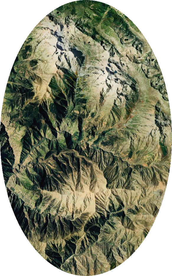
By satellite data and powerful advanced computer techniques together, we are able to offer remote sensing analysis allowing our clients to make faster, more informed decisions.
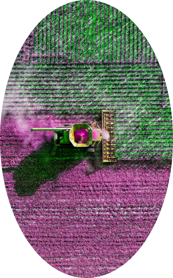
Combining the power of big data and gis we are able to complete analysis and deliver insights to our clients allowing them to make smarter business decisions.
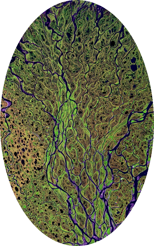
We have successfully used remote sensing techniques and semi-automatic classification systems to help our clients:
By collecting and processing large quantities of data we have been able to successfully provide insights on
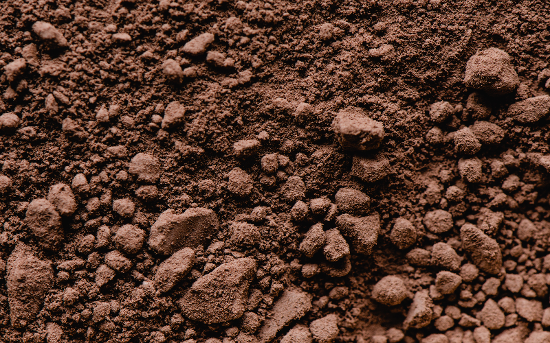
The TerraShift Alberta Aggregate Potential layer analyzed over 275,000 drillholes
The application tracker processes over 300,000 records every week giving unique insight into what's happening